Start with the inspection objective
Documenting general condition, locating a defect and measuring its extent are different tasks. Define the structure, required coverage, reporting format and acceptance criteria before comparing vehicles.
Let visibility guide the sensing package
An optical camera provides interpretable detail when water clarity and lighting permit. Imaging sonar may help navigation and feature recognition in poor visibility. Neither automatically supplies survey-grade dimensions or a complete defect assessment.
Match the vehicle to the site
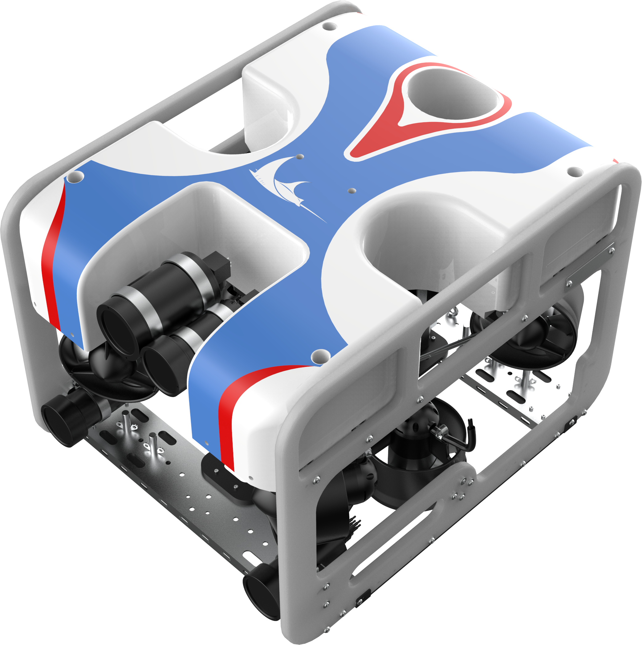
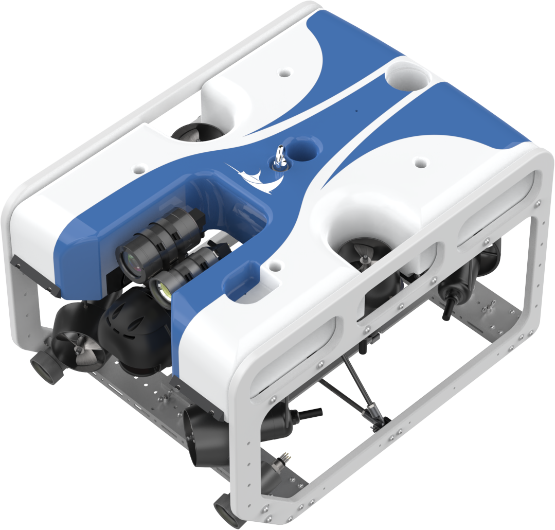
Compare working depth, currents, smallest access opening, vehicle clearance and deployment space. The R-30 and R-45 have different size and payload allowances. Evaluate them with the actual sensors installed.
Plan the complete field system
Account for the control station, tether, reel, power supply, launch method and recovery equipment. A vehicle specification alone does not describe the staffing, transport or infrastructure needed for a mission.
Define usable outputs
Specify video recording, time references, position references and annotations. Confirm which files can be exported and how observations will be connected to the asset owner’s reporting workflow.